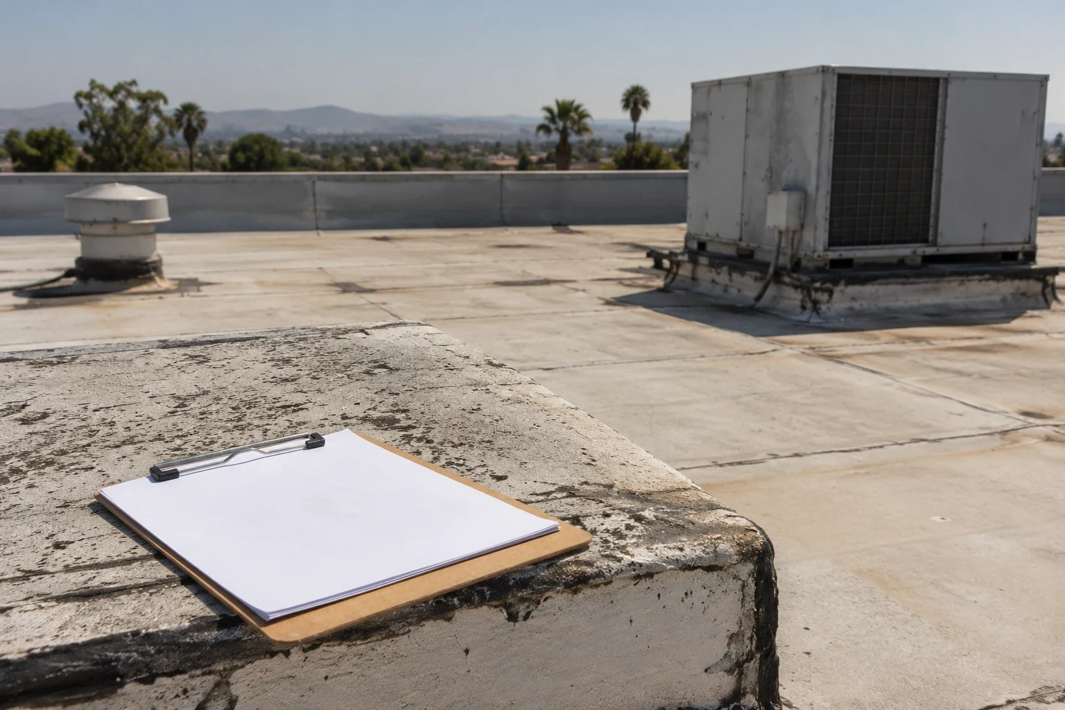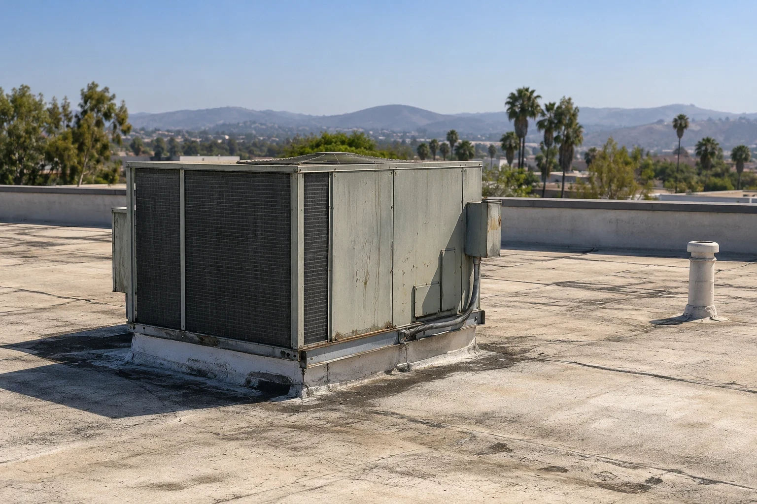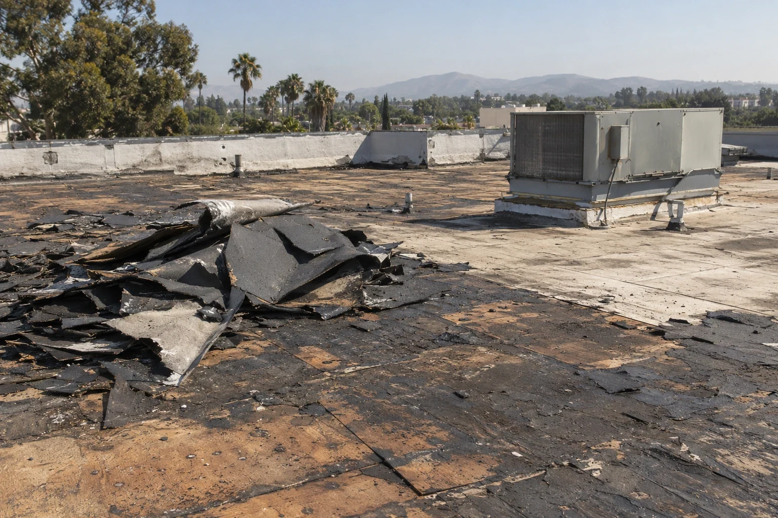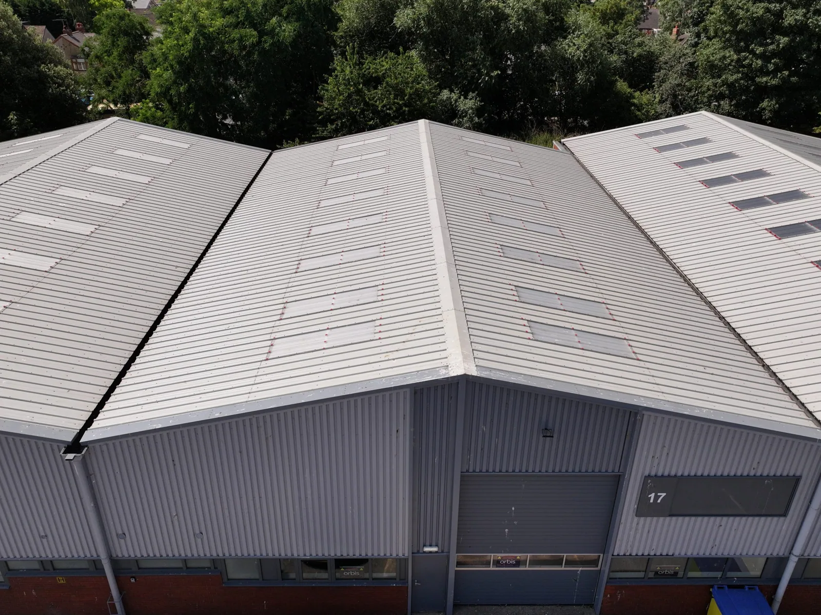
Drone Commercial Roof Inspection in Burbank, CA
A drone can help document roof geometry, equipment layout, drainage paths and visible surface conditions from above. It does not replace close inspection of seams, flashing, membrane texture or concealed moisture. We begin by asking what decision the imagery needs to support: locate a reported issue, build a roof-zone map, record a baseline or help plan a maintenance visit. That question determines flight coverage and the detail needed. If the roof is safely accessible, a qualified inspector should verify selected observations at close range. We state what imagery can show and what it cannot establish, so the owner does not mistake a bird’s-eye photograph for a complete condition assessment.
Review flight feasibility and property permissions
Flight operations need a site-specific check of airspace, local restrictions, weather, people, buildings and permission from the property owner. We confirm the intended takeoff and landing area, flight path, roof and nearby obstructions, occupant notices and any secured or sensitive zone. Operations may be postponed if conditions or permissions do not support a safe flight. We do not assume a site is clear because imagery is requested. The plan should identify who can approve access, which areas must remain private and how data will be stored or shared. For a Burbank property, the operator evaluates current FAA and local requirements before confirming feasibility rather than promising a flight from a generic service description.
Capture a roof map that facility teams can use
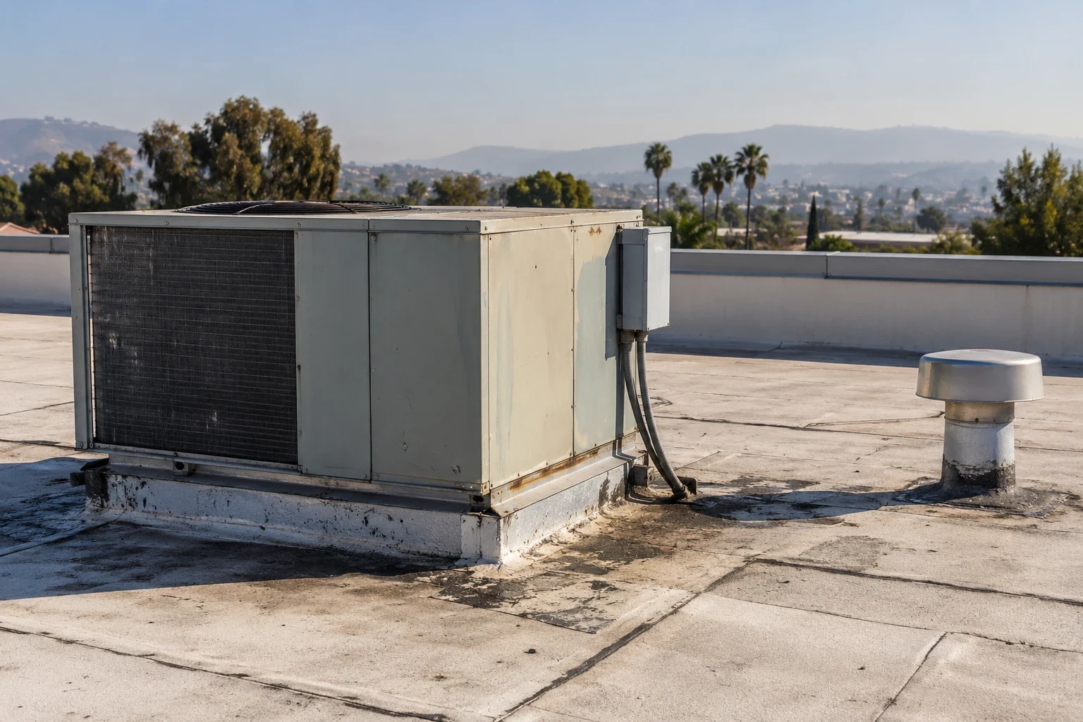
Useful imagery includes identifiable roof sections, edge conditions, rooftop equipment, penetrations, skylights, drains and adjoining areas. We can label images by roof zone and direction, then connect visible observations with existing drawings or maintenance records. Overlapping photographs and consistent viewpoints can make later comparisons easier, but lighting, glare and shadows may conceal some features. A drone image may show a surface mark without confirming whether it is a defect or active leak. We note image limitations and flag areas that need a ladder-access inspection. The deliverable should help facility staff locate a condition on the roof, not simply provide a large folder of unlabeled aerial files.
Verify observations on the roof where appropriate
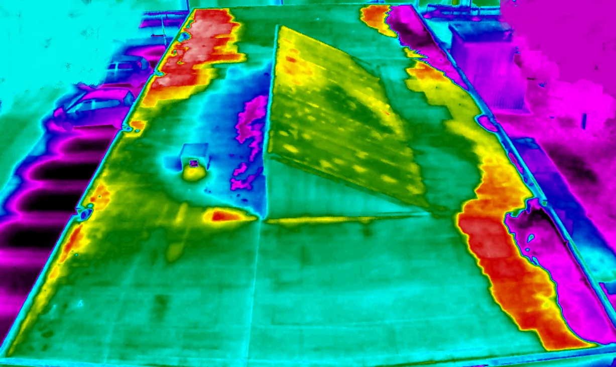
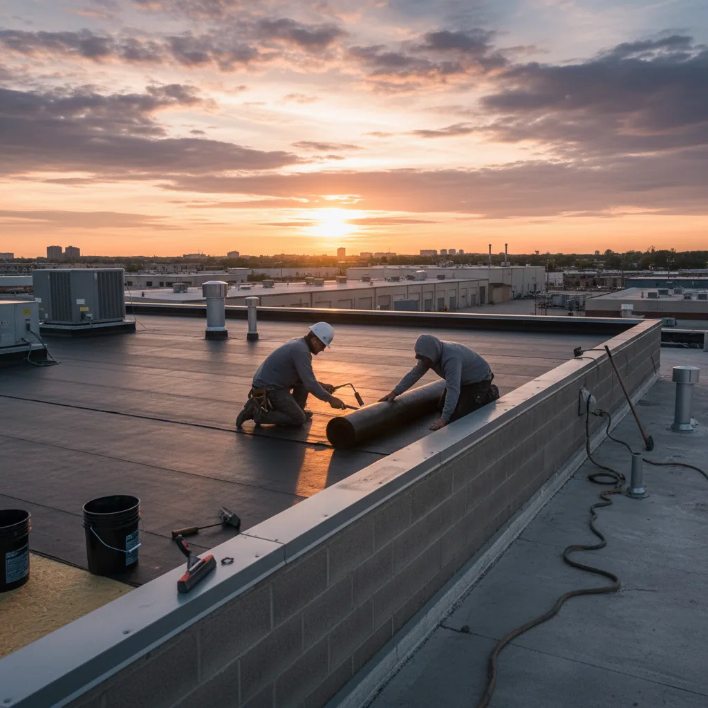
Aerial imagery can identify areas for closer review, including standing water, debris, visible openings or surface changes. It cannot reliably confirm membrane adhesion, soft substrate, moisture depth, seam integrity or concealed deck conditions. We may recommend a hands-on commercial roof inspection when the decision requires these findings. If a scan is considered, infrared moisture survey methods still require field interpretation and verification. A close inspection confirms whether the image represents a real defect, how far it extends and which system detail is involved. The report distinguishes drone-observed conditions from conditions that were physically verified so ownership can weigh the evidence appropriately.
Coordinate coverage with active operations
Before flight, we confirm people movement, operating hours, production activity, vehicle routes, equipment and any area that must remain undisturbed. We establish a communication contact and pause criteria if people enter the planned zone or weather changes. The drone should not disrupt a production call, guest entrance, loading schedule or tenant activity. Burbank’s Media District includes studio, entertainment, healthcare and office activity, so a property-specific schedule may be more suitable than a standard daytime flight. We also confirm whether rooftop equipment or security procedures require an escort for follow-up inspection. An operations plan protects occupants and produces imagery that can be connected to a meaningful maintenance or capital decision.
Keep privacy and data handling clear
Aerial imagery can incidentally capture adjacent rooftops, windows, signage or people. We plan views around the roof, avoid collecting unnecessary information and discuss the intended audience for images. Deliverables should be stored and shared through an agreed channel with filenames that map to the roof plan. If a property manager needs only a condition record, do not circulate raw footage broadly. We identify whether images may be retained for comparison at a later inspection and who can access them. A documented data boundary helps facility teams use roof imagery for maintenance without creating confusion about unrelated property or occupant information.
Turn images into a prioritized work record
The report pairs a roof-zone map with selected, labeled images and a short list of observations, limits and next steps. A facility director should be able to tell which area merits a walk-through, where debris or drainage attention may be needed and which observation is only visual. We separate immediate concerns from monitoring and budget questions, then identify when a repair estimate or condition assessment is useful. For example, an image of a loose edge does not describe the fastening condition beneath it; that requires a closer method. If the roof spans several assets, consistent zone labels can support condition reporting and roof asset management.
Decide whether imagery adds value to the next inspection
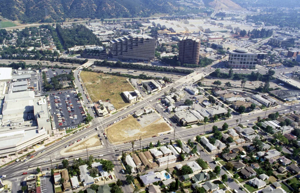
Drone imagery is most useful when it saves access effort, provides a repeatable visual map or helps plan an inspection. It is less useful when a close examination is already safe and necessary to answer the question. We can discuss the task, site conditions, existing roof drawings and intended report before recommending a flight. For service planning in Burbank’s Media District, the flight plan still depends on property permission, airspace and operating conditions. Imagery can support preventive maintenance, a replacement evaluation or a documented repair review, but it does not replace engineering, testing or manufacturer approval where those are required.A flight log should record date, conditions, route coverage and any area omitted because of glare, obstruction, permissions or access limits. The image set can be organized into roof-zone folders with selected overview and detail views, rather than sending unannotated footage that leaves the manager searching for an observation. We flag areas for follow-up and assign each one a suggested method, such as close visual review, drain clearing or a separate moisture investigation. A flight is not a substitute for licensed design review or a warranty inspection when those are required. Before the visit, ownership should agree on image retention, delivery format and who receives the report. That simple information plan makes the survey useful to maintenance staff after the original request is closed. For a Burbank building, we can label the Media District or Downtown Burbank only as map context, and use Magnolia Park for a separate nearby district reference; the roof-zone map remains specific to the property being inspected. We share the flight route, image set, exclusions and recommended close-up checks with the authorized facility contact. If a roof section is hidden by mechanical equipment or shade, the report says so rather than implying full visual coverage. The owner can then pair the images with maintenance logs or assign a physical walk to the appropriate technician.
Commercial Roofing Questions
Can drone imagery identify an active leak?
It may show visible conditions that warrant investigation, but it cannot prove a leak source by itself. Interior reports and close roof inspection help establish the cause.
Does a drone inspection replace a roof walk?
No. Aerial imagery cannot verify seam integrity, adhesion, substrate or concealed moisture. A qualified close inspection may be needed for repair or replacement decisions.
Can every Burbank property be flown?
No. Feasibility depends on current airspace, permissions, weather, people, site hazards and local rules. The operator checks those conditions before scheduling.
What will the owner receive?
A roof-zone map, selected labeled images, observations, limitations and recommended next steps. The report distinguishes visual findings from conditions verified at close range.
Can imagery help compare roof conditions over time?
Yes, if viewpoints, zone names and image records are consistent. Comparisons still require interpretation because weather, lighting and roof work can alter appearance.